Field Data Acquisition
Field data acquisition activities are driven by sophisticated sensors and equipment, now a day.
Field data broadly acquired using Global Positioning System (GPS)/Differential Global Positing System (DGPS) or other types of surveying equipment such as a Total Station. Whereas, next generation infrastructure of Continuously Operating Reference System (CORS) offers real-time data acquisition with more precision.
Knowledge Spatial provide services with the use of above mentioned surveying technologies for quick and accurate data acquisition related to topography and establishing Ground Control Network for any geographical area.

Positioning & Navigation
Today, GPS based navigation systems can be found in many fields globally.
With the help of positioning and Navigation technologies, location of specific objects, route planning and navigational activities.
Knowledge Spatial offers real time Navigation and monitoring solutions for Schools, Home delivery, Logistic fleets Taxi Service, Medical and Police etc.

Satellite Image Analysis
Satellite imageries are rich source of geospatial data at global, regional and local level. Thus, Satellite Image Processing of Optical, Thermal SAR and hyperspectral sensors data have Remote Sensing applications in the field of Forestry, Environment, Climate Change, Water resources, urban development & disaster responses etc.
Knowledge Spatial offers services for geo-referencing/ ortho-rectification, color balanced mosaicking, classification etc. for multi sensor, temporal voluminous imagery data covering large geographical area quickly.

Drone Mapping & Surveillance
Bringing the latest technology to Surveillance and mapping for Infrastructure, Engineering, planning and development projectsKnowledge Spatial stays on the cutting edge of technology, embracing innovations that help us more efficiently meet projects’ needs. Drones offers faster, safer way to gather important data during surveying, inspections, mapping and more.

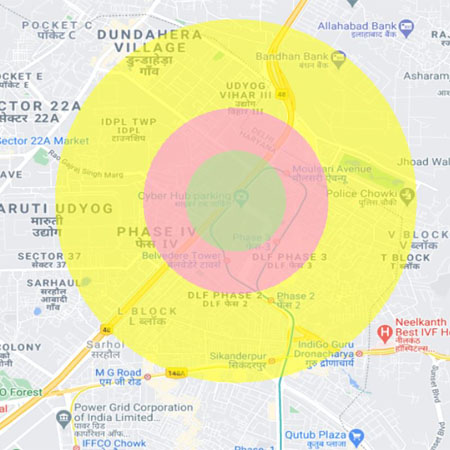
Geo Analytics
Data Insights through Advanced Geo-Analytics Knowledge Spatial offers a business intelligence solution that delivers actionable data insights into subscriber, device and network performance, all powered by geo-located data and advanced analytics.
Analytics of data with geolocation brings ultimate insight knowledge which provides extra value for engineering, customer care and marketing teams within organizations.
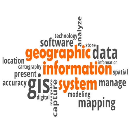
Geospatial Solution Development
Knowledge Spatial offers end-to-end applications development services based on specific user requirements. Cloud & Mobile App development process typically covers requirements analysis, design, coding, testing and deployment.
We provide application development services on Commercial & Open source geospatial technologies platforms.

Capacity Building & Skill Development
Geospatial technologies have become very effective tool and information system in various applications reducing costs and bringing in timely information.
Satellite and Drone data are becoming more close to everyone’s life. It provides vast selection in terms of spatial, temporal and spectral resolution.
With these developments has become vital to effectively use geospatial technologies by the planner, policy & decision makers in public & private sectors.
Knowledge Spatial offers well design and appropriate capacity building & skill development training modules.